Sani Bheri 3 Hydroelectric Project
Sani Bheri 3 HEP is situated in Eastern and Western Rukum District, Province no 5 and 6. Project area lies between 28°37’15’ N to 28°40’15” N latitude and 82°30’50” E to 82°36’56” E longitudes. It is located about 570km (road distance) towards North-West of Kathmandu and from Kathmandu to Solabang is about 550km which is all season black topped road and further about 25km from Solabang to near Headworks is fair weathered earthen road which is the main access road from Kathmandu to project site.
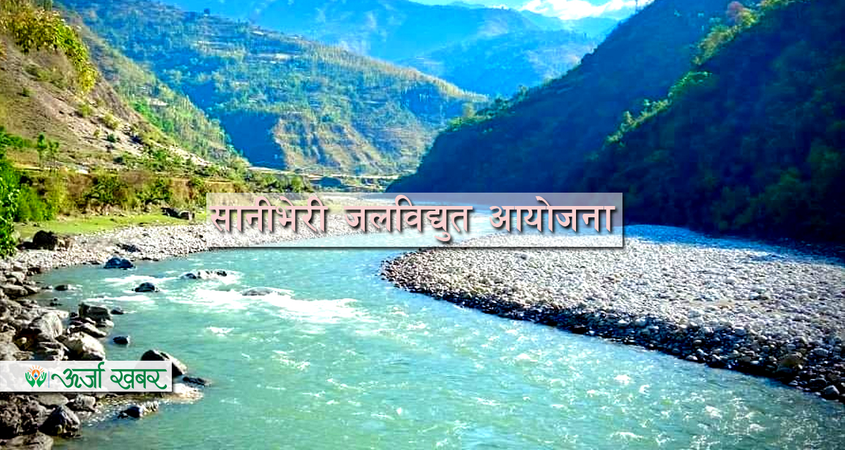
Project lies in the left bank of the Sani Bheri River. Headworks site is located near the suspension bridge near Sisneri village. Powerhouse is located near Bhal Khola. Sani Bheri River is a snow-fed river originating from the high mountains.
Project Salient Features:
- General
- Project Name: Sani Bheri 3 Hydroelectric Project
- Name of River: Sani Bheri
- Nearest Town: Musikot Bazaar
- Gross Head: 110.83 m
- Location
- District / Province no: Rukum / Province 5 and 6
- Type of power plant: Peaking - Run-of-River
- Project Co-ordinate
- Easting: 82°30’50” E to 82°36’56” E
- Northing: 28°37’15’ N to 28°40’15” N
- Hydrology
- Catchment area at intake site: 2216 km²
- Long term annual average flow: 66.52 m³/s
- Design Discharge (Q40): 53.0 m³/s
- Design flood at intake (1 in 100): 1085 m³/s